 Construction monitoring
A weekly record, start to finish
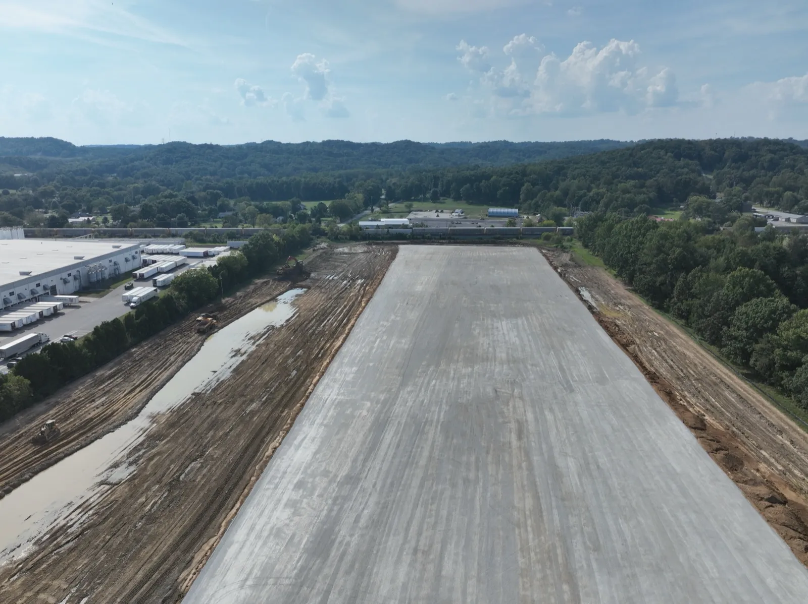
A Louisville-area residential development — seven weekly visits, August 4 to September 16, 2026
Read the case study →FAA Part 107 Certified · Louisville, KY
The dated record that ends the argument. Repeat flights from the same positions, every visit, turned into a document your owner and your lender can read without asking you a single question.
The case study
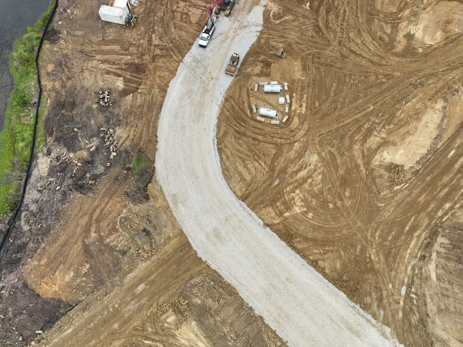
On a Louisville-area residential development, weekly since August 2026: seven consecutive weekly visits, August 4 to September 16, flown fromthe same positions every visit, so any two dates line up frame for frame.
RTK/PPK-georeferenced on every flight, so month six overlays month one pixel for pixel.
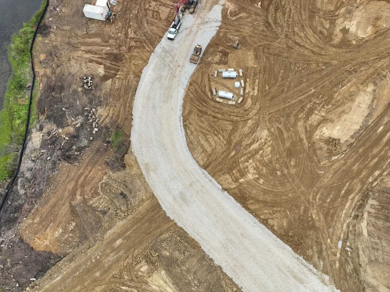
Maps and models are drone-photogrammetry products for progress documentation and visualization. They represent generalized locations of features and are not a boundary or land survey; survey work is referred to licensed Kentucky surveyors.
All kinds of drone work
Five kinds of flying, one pilot, one insurance certificate. Each line has its own page.
Dated, repeatable aerial documentation of your job site — the same positions every visit, RTK/PPK-georeferenced, with a report your owner and lender can read.
Construction →Orthomosaic maps, 3D models and stockpile estimates, flown RTK/PPK with an on-site base station.
Mapping & 3D →Tower, roof, and facade inspections with millimeter-level detail — no ladders, lifts, or climbers required.
Inspections →Aerial photo and video that makes listings stand out — commercial and residential, MLS-ready.
Real Estate →Event coverage, FPV flythroughs, hyperlapses, and social-ready video that stops the scroll.
Events & Creative →Networks we have flown for
Bees360DronegenuityDroners.ioDroneUpFly GuysZeitviewThe nineteen-month record
15 visits over 19 months (October 2023 to May 2025), every one flown from the same positions every visit — so any two dates in that archive line up frame for frame, and a question about March is answered with March.
See the nineteen-month record →Featured work
Construction monitoringA Louisville-area residential development — seven weekly visits, August 4 to September 16, 2026
Read the case study → Construction monitoring
15 visits over 19 months (October 2023 to May 2025)
See the nineteen-month record →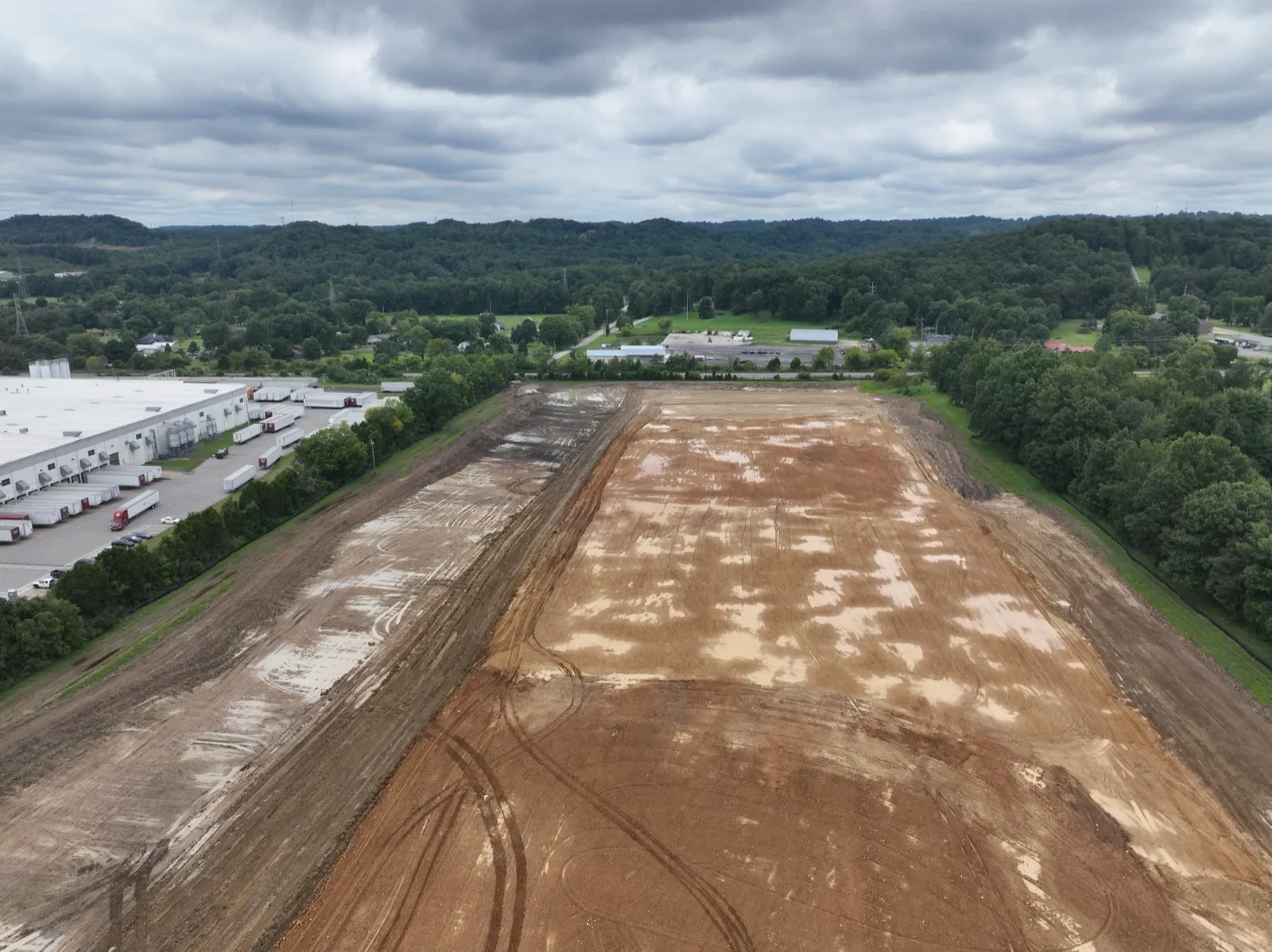 20 Aug 202616 Sep 2026
20 August to 16 September 2026 · the same camera position, 0.054 m apart
How the record is flown →What clients say
“I needed several, complex shots of a large parcel of land that had a lot of elevation changes, along with other challenges. This pilot not only met every single part of the job description, but he also made sure I was satisfied with the final product. He also made sure he was getting exactly what I needed while he was on the property!”
“You're one of the favorite pilots flying these cell tower surveys! You made my job extremely easy compared to some of the other guys!”
“Excellent to work with. Quick, professional, easy to communicate with, and most importantly, the photos came out great! Would hire again, THANK YOU!”
“Highly professional and great attention to detail! Will definitely be working with them again!”
Tell us the site, the schedule and who has to receive the report. Scope and price come back the same day.