
Service Area
Drone Services in Indianapolis, Indiana
Straight up I-65 from Louisville, Indianapolis is firmly inside our regular service area — same-week scheduling for most projects, no overnight fees.
Indianapolis is a two-hour run from our base, which keeps it inside normal scheduling — a morning shoot in Indy and same-week delivery is routine, not a special request.
Indianapolis International (IND) puts Class C airspace over the southwest metro, and we handle FAA authorization through LAANC wherever a project falls inside it. The rest of the metro’s suburban growth ring — Carmel, Fishers, Greenwood — is mostly uncontrolled airspace where we can typically fly on short notice.
It’s a market built for drone work: one of the country’s biggest warehousing and logistics hubs along I-70, a steady stream of distribution-center construction to monitor, suburban development that needs mapping and progress documentation, and a downtown skyline and motorsports culture that reward cinematic aerial work.
Also serving: Carmel · Fishers · Greenwood · Plainfield · Zionsville · Noblesville
What we fly in Indianapolis
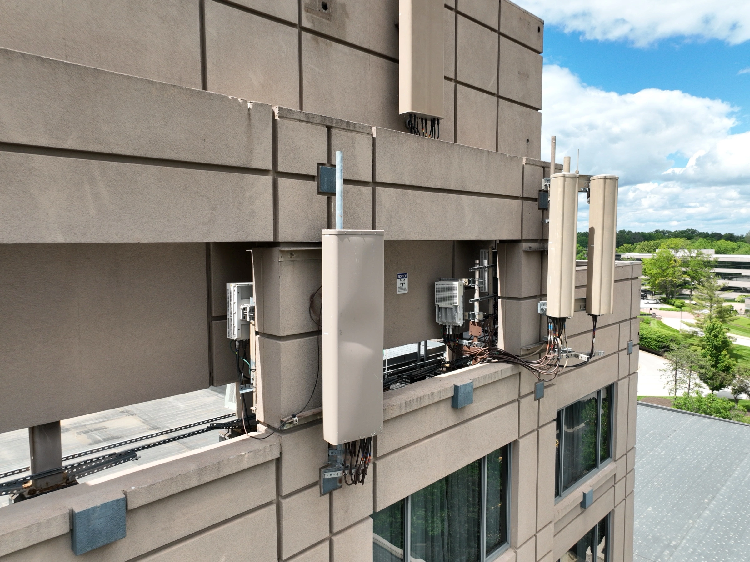
Aerial Inspections
Tower, roof, and facade inspections with millimeter-level detail — no ladders, lifts, or climbers required.
Learn more →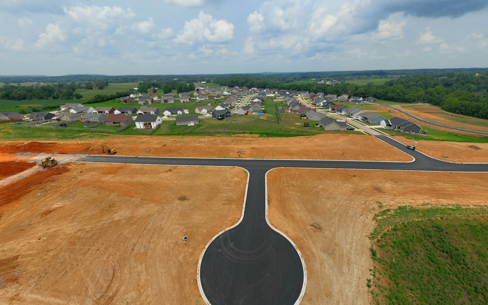
Construction Progress Monitoring
Recurring aerial documentation of your job site — consistent angles, week over week, from groundbreaking to ribbon cutting.
Learn more →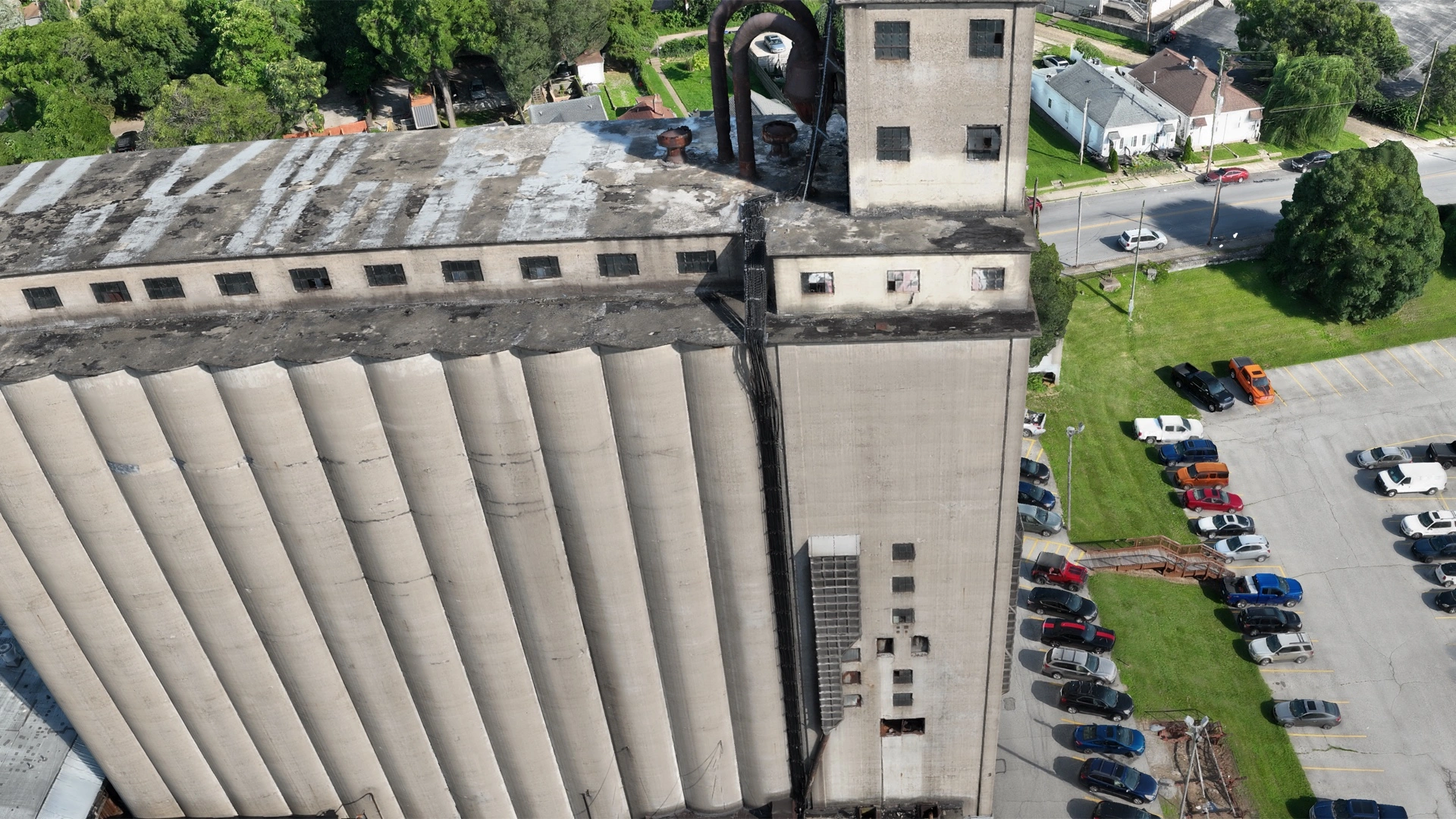
Mapping & 3D Modeling
Orthomosaic maps, 3D models, and stockpile measurements — turn your site into accurate, measurable data.
Learn more →
Real Estate Media
Aerial photo and video that makes listings stand out — commercial and residential, MLS-ready.
Learn more →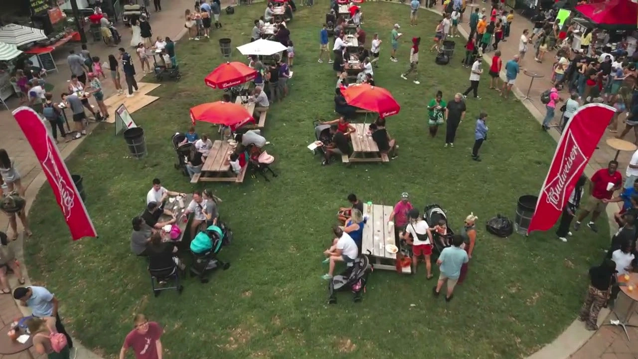
Events & Creative Content
Event coverage, FPV flythroughs, hyperlapses, and social-ready video that stops the scroll.
Learn more →